Database Utility
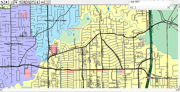
The Database Utility is a program integrated into the MapPro software that allows databases to be created or imported and then geo-coded (the process of finding latitude & longitude from the provided address information) to create a custom map layer that may be added to any map. Microsoft Access or dBase DBF databases may be imported. This allows you to see your existing databases in a way you never could before – displayed on a map. Below are some of the major features of the Database Utility:
- Import Microsoft Access or dBase databases.
- Create new databases and add property locations to the database right from Map Maker.
- Modify the database structure – add, remove, or change field definitions in the database.
- Sort Database in any order to make it easier to find what your looking for.
- Pack Database to compress database after removing records.
- Automatic and Interactive Geo-coding sessions to speed up the geo-coding process.
- Manual Geo-coder to manual place property locations that can not otherwise be geo-coded.
- Choose from dozens of icons to mark property locations.


